
Commute Times from Rancho Penasquitos, CA: 2026 Traffic and Route Guide
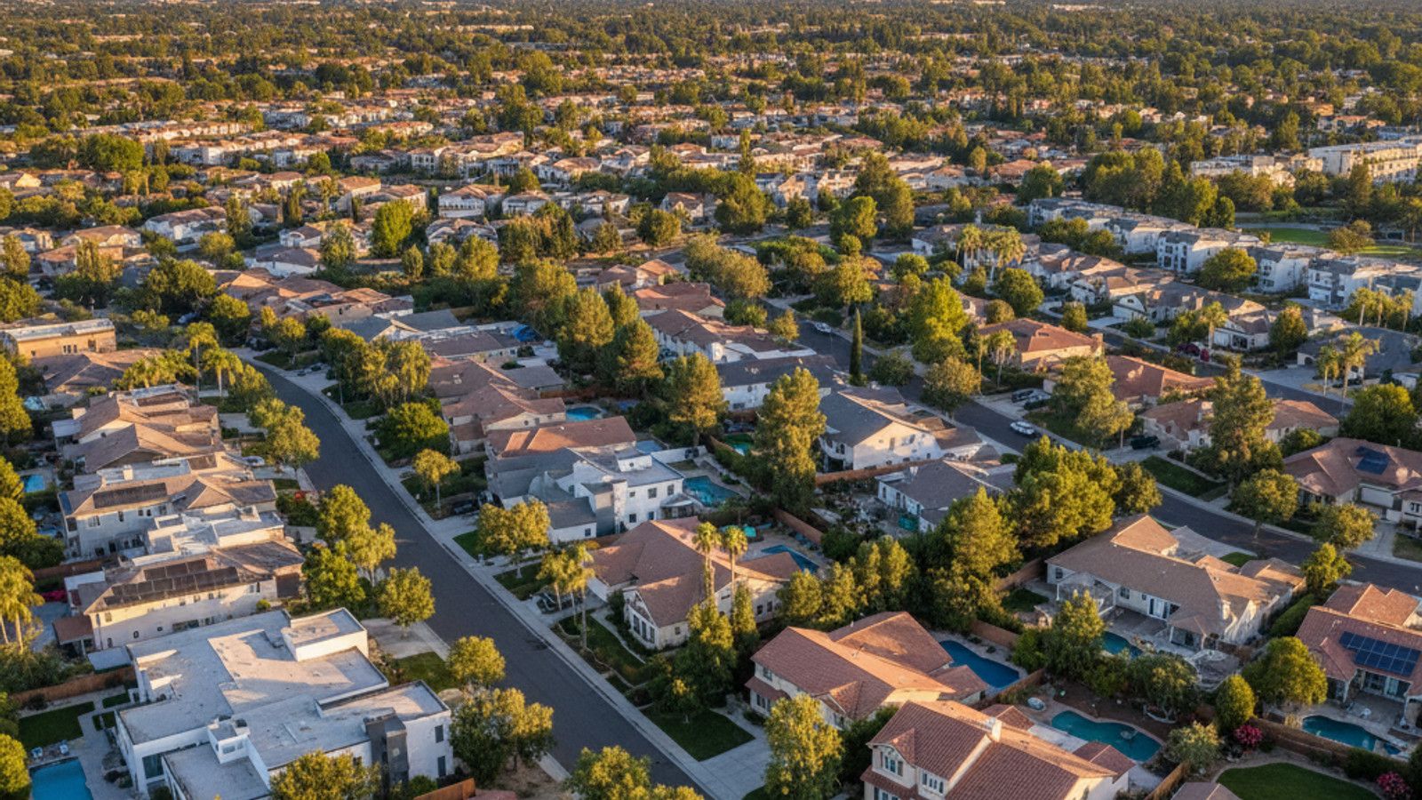
Rancho Penasquitos sits in San Diego's North County Inland region, positioned right where State Route 56 meets Interstate 15. This location makes it a popular base for buyers who work in the coastal tech hubs but prefer the housing options further inland. Homes here fall within the boundaries of the Poway Unified School District, which remains a major draw for buyers moving to the area.
Buyers looking at the local market in May 2026 will find median single-family home prices hovering between $1.35 million and $1.45 million. Condominiums offer a lower entry point, generally trading between $750,000 and $950,000. Travel times from this inland location vary widely depending on your exact destination and departure time.
Driving to Major San Diego Employment Centers
Downtown San Diego sits about 19 miles south of Rancho Penasquitos, CA via Interstate 15. During off-peak hours, you can expect this drive to take between 25 and 35 minutes. When morning rush hour hits, that same trip extends to 40 to 60 minutes or more depending on accidents or roadwork.
Commuters heading to the tech and biotech sectors face a different set of traffic dynamics. The coastal employment hubs draw a massive influx of workers every morning, concentrating traffic onto a few main arteries. Drivers should map out alternate routes and check live traffic data before leaving the house.
Reaching Sorrento Valley and UTC
Sorrento Valley is only 7 to 10 miles away, but the density of employers in the area creates intense bottlenecks. Expect a 30 to 45-minute drive during peak morning hours using either State Route 56 West or Mira Mesa Boulevard. The return trip in the evening often takes just as long.
The University Town Center (UTC) area and La Jolla follow a similar pattern. Taking SR-56 West to Interstate 5 South generally requires 30 to 45 minutes during rush hour. Off-peak travel to the UTC mall or nearby offices drops closer to 20 minutes.
Highway Access and Daily Traffic Patterns
State Route 56, also known as the Ted Williams Freeway, is the primary east-west artery connecting Interstate 15 to Interstate 5. This freeway dictates the rhythm of daily travel for most residents heading toward the coast. Morning traffic swells westbound between 7:00 AM and 9:00 AM as workers head toward Sorrento Valley and Del Mar.
The pattern reverses in the afternoon, with eastbound lanes backing up from 4:00 PM to 6:00 PM. Interstate 15 handles the north-south flow and features dedicated High Occupancy Vehicle (HOV) lanes. Carpoolers and drivers with eligible clean-air vehicles can use these express lanes to bypass the worst mainline congestion.
Surface streets like Carmel Mountain Road and Black Mountain Road offer alternatives when the freeways stall. However, these local roads feature numerous traffic lights and school zones that slow progress. Drivers should test both freeway and surface street routes during their typical commuting hours before finalizing a home purchase.
Public Transit Options Along the I-15 Corridor
The Sabre Springs/Peñasquitos Transit Station serves as the primary public transportation hub for the area. Located just off Interstate 15, this station provides direct access to the San Diego Metropolitan Transit System (MTS) Rapid bus network. These buses use the I-15 express lanes, allowing them to bypass standard freeway traffic.
Commuters working downtown frequently use the Rapid Express 290. This route offers limited stops and delivers riders directly to the downtown core during peak commuting hours. It provides a hands-free alternative to driving and reduces parking expenses for downtown workers.
Connecting to Other Parts of San Diego
The Rapid 235 route runs throughout the day, connecting the local transit station to downtown San Diego and various points in between. For those working in the UTC area, the Rapid 237 route provides service toward the coastal employment centers.
Riders should review the current MTS schedules, as express routes operate primarily during traditional commuting windows. Parking at the Sabre Springs/Peñasquitos Transit Station is free, making it easy to park and ride.
Travel Times to the Airport and Local Amenities
San Diego International Airport (SAN) is located near downtown, making the drive comparable to a standard downtown commute. Under normal traffic conditions, residents can reach the terminals in about 30 to 35 minutes. Early morning or late evening flights usually involve a smooth drive straight down Interstate 15 to State Route 163.
Local errands rarely require freeway travel. Shopping centers along Carmel Mountain Road provide grocery stores, pharmacies, and coffee shops within a 5 to 10-minute drive from most homes in the area. Poway and Rancho Bernardo offer additional retail options just a few miles north.
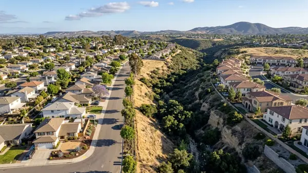
The Los Peñasquitos Canyon Preserve runs along the southern edge of the community. This open space provides miles of trails for hiking, mountain biking, and horseback riding. Residents can access multiple trailheads within a 10-minute drive of their front door.
Frequently Asked Questions
Is there a direct bus from Rancho Penasquitos to Downtown San Diego?
Yes, the MTS Rapid Express 290 provides direct service from the Sabre Springs/Peñasquitos Transit Station to the downtown area. This route utilizes the I-15 express lanes to maintain consistent travel times during morning and evening rush hours. The standard Rapid 235 also offers all-day service with more frequent stops along the way.
How far is Rancho Penasquitos from the ocean?
The community sits about 10 to 12 miles inland from the Pacific Ocean. Taking State Route 56 West leads directly to the beaches of Del Mar and Torrey Pines. Without traffic, this drive takes roughly 15 to 20 minutes.
What is the fastest way to get to Sorrento Valley during morning rush hour?
State Route 56 West is usually the most direct path, but Mira Mesa Boulevard serves as a reliable parallel alternative. Drivers should check live GPS data before leaving, as an accident on the 56 can make surface streets the faster option. Utilizing a carpool to access the HOV lanes on connecting freeways also cuts down on travel time.
Categories
Recent Posts


GET MORE INFORMATION