
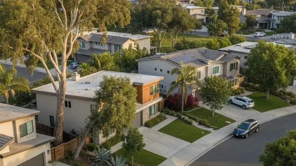
Home Staging Tips to Sell Your Property in Rancho Penasquitos, CA
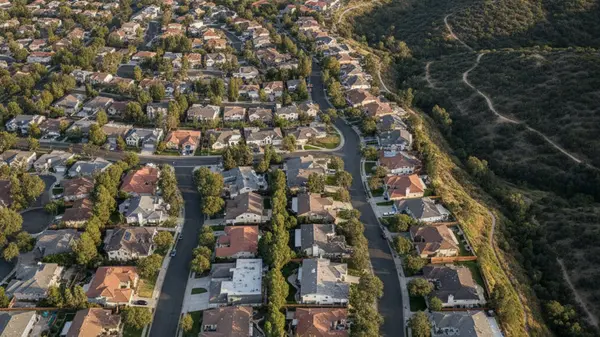
The median sale price in Rancho Penasquitos, CA, currently sits around $1,280,000. To maximize your return, it helps to partner with the best real estate agent in Rancho Penasquitos, CA. Homes in the 92129 zip code are moving fast, averaging just 14 days on the market before going under contract. Wi
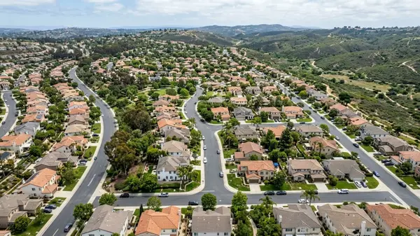
Breakdown of Seller Closing Costs in Rancho Penasquitos, CA
Selling a house in the 92129 zip code involves a specific set of fees that come out of your final proceeds. To understand these expenses upfront, it helps to work with the best real estate agent in Rancho Penasquitos, CA. Recent data from late spring 2026 shows homes in Rancho Penasquitos selling fo
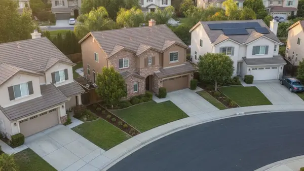
What to Expect From Seller Disclosures in Rancho Penasquitos, CA
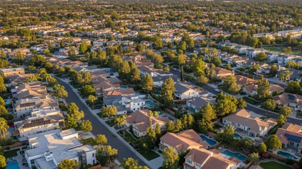
The median sale price for homes in zip code 92129 sits around $1,280,000 as of mid-2026, and properties are spending roughly 14 days on the market before going under contract. Homes are averaging 100.6% of asking price - meaning buyers around here aren't getting many concessions, and they know it. T
Understanding Real Estate Commissions in Rancho Peñasquitos, CA
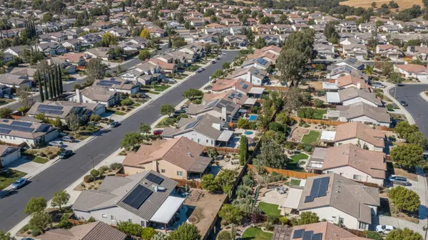
The median sale price for a home in the 92129 ZIP code currently hovers around $1,280,000. With properties regularly selling for slightly over the list price in just two weeks, local buyers and sellers are handling high-value transactions that require careful financial planning and guidance from the
Categories
Recent Posts